jQuery Mapael is a jQuery plugin based on raphael.js that allows you to display dynamic vector maps.
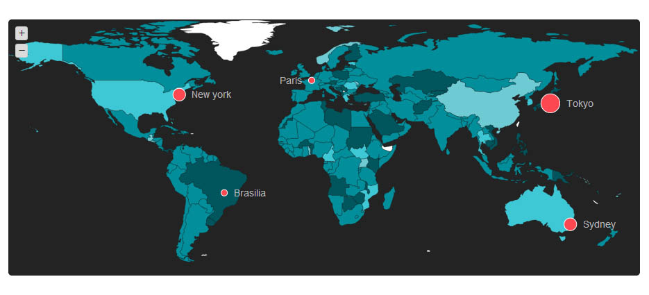
For example, with Mapael, you can display a map of the world with clickable countries. You can build simple dataviz by setting some parameters in order to automatically set a color to each area of your map and generate the legend. Moreover, you can plot cities on a map with their latitude and longitude.
jQuery Mapael - Features:
- based on jQuery and raphael.js
- Interactive. Set a link, a tooltip and some events on the areas of the map
- Plottable cities with their latitude and their longitude
- Areas and plots colorization. Mapael automatically sets a color to each area of your map and generates an interactive legend in order to build pretty dataviz
- Easy to add new maps. Build your own maps based on SVG format
- SEO-friendly. An alternative content can be set for non-JS users and web crawlers
- Resizable Thanks to raphael.js, maps are easily resizable.
- Zoom Zoom and panning abilities.
Please login to continue.